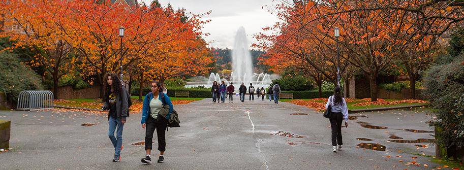
If you've been to campus, then you're no stranger to walking at the University of Washington. With its network of pathways, amazing views and historic landmarks, walking is by far the most popular way to get around. It’s also a great (and green) way to commute, with 28% of people walking to the UW each day.
Plan your route
Just because a route works well for cars or buses doesn't mean it’s the most convenient or comfortable when you’re traveling on foot. Here are four places to start your research:
- The Burke-Gilman Trail is the region's premier multi-use trail; it offers a pathway under I-5 separate from car traffic and connects to a number of area attractions including Husky Stadium, the UW Medical Center and University Village.
- The U-District and North Capitol Hill Walking Map includes information about pedestrian paths as well as transit, services and landmarks.
- Walking to class from a residence hall or other nearby housing? Find your destination on the UW Campus Map. You may also find our Access guide helpful.
- Finally, don't forget about your favorite online map sites or apps. Google, Apple, MapQuest and many others provide walking directions, though some are in beta. You may also need to change your default settings.
Other resources you may find useful include pedestrian advocacy program Feet First, and the pedestrian program pages from the City of Seattle and the State of Washington.
Also, don't forget to practice good safety habits when walking around campus. Look both ways before crossing a road and do not jaywalk.
The University of Washington is committed to creating and maintaining a safe and secure campus.
Husky SafeTrip
Husky SafeTrip (formerly Husky NightWalk) is a service of the UW Police Department. They provide a safe vehicle escort at night with a uniformed security guard for students, faculty and staff. Use Husky SafeTrip to safely get from campus to your home, to your car or to another UW building within a designated service area. Call 206-685-9255 to request an escort.
Visit the Safety escort services webpage for a service area map and more information.
NightRide Shuttle
NightRide provides a fare-free, safe and easy way for U-PASS members to get home at night. NightRide shuttles pick up passengers at eight convenient campus locations and drop them off anywhere within one of two zones. Service runs Monday through Friday (excluding University holidays and summer quarter) and pickups run from 8 p.m. until just after 1:30 a.m.
Visit the NightRide Shuttle webpage for the map and more information.
SafeZone app
Connect with the UW Police Department through the SafeZone app on your mobile phone. The app has call buttons for emergency, first aid and non-emergency help and lets users easily share their location with UWPD dispatch.
Learn more and download the SafeZone app.
Need a place to shower or change after walking to campus? Employees with IMA memberships and all students can use the shower facilities at the IMA and the Pavilion Pool. Call 206-543-4590 for details.
A few other buildings on campus also have shower and locker room facilities. Contact your building coordinator about the availability of facilities in your building.